10 Day Itinerary Ireland and Northern Ireland
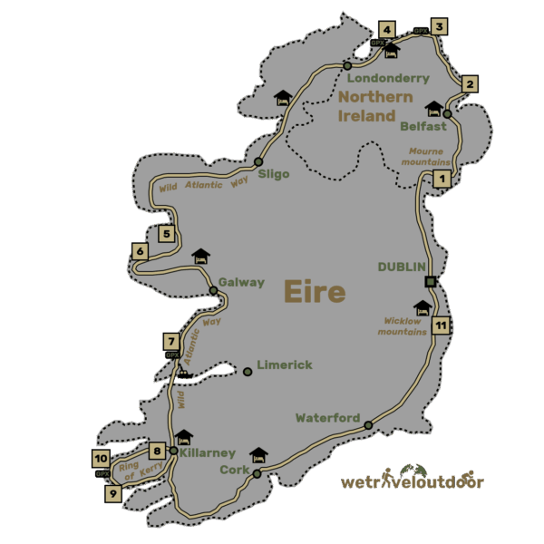
Ireland and Northern Ireland are known for it’s high cliffs, beautiful roads, charming villages and of course Guinness! We explored almost the entire coastline of Ireland and Northern Ireland in 10 days with a rental car. In this article you will find a complete roadtrip including our Google Maps travel guide Ireland! With this map you can see at a glance where the most beautiful stops from our travel route are found for your 10 day itinerary Ireland and Northern Ireland.
Day 1: Start of The 10 Day Ireland Itinerary: Drive to Belfast
Distance: 200 km
Activitities: Mourne Mountains (1), Belfast
Accommodation: The Avenue Belfast
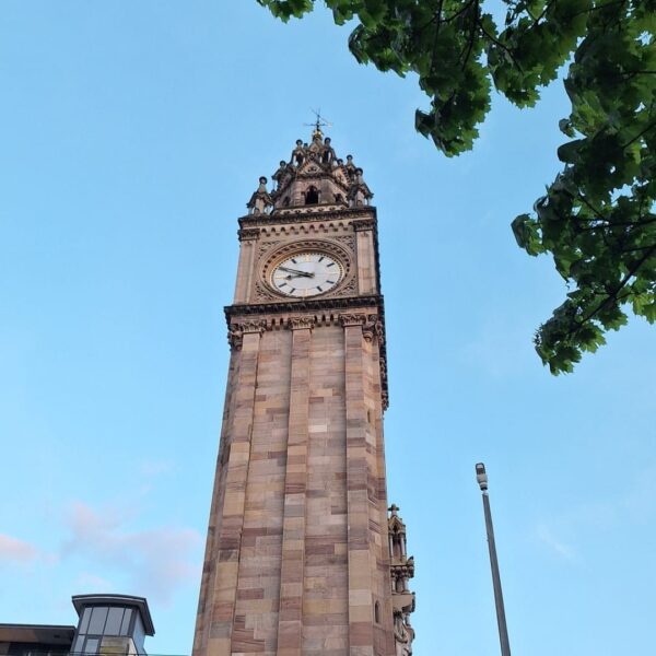
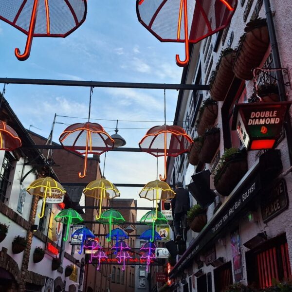
To get the most out of the first day of your Ireland and Northern Ireland itinerary, we recommend taking an early flight. We arrived at the car rental company around 1 p.m. so that we could travel to Belfast on time. Along the way you will pass the Mourne Mountains. In the evening there is still plenty of time to explore Belfast.
Tip for renting a car: check out Sunnycars for stress-free rental or discovercars for transparent rental options.
Day 2 Belfast – Ballycastle
Distance: 100 km
Activities: Whitehead and The Gobbins (2)
Accommodation: Giants Causeway (unfortunately, we wouldn’t recommend the location we stayed: Finn McCools hostel)
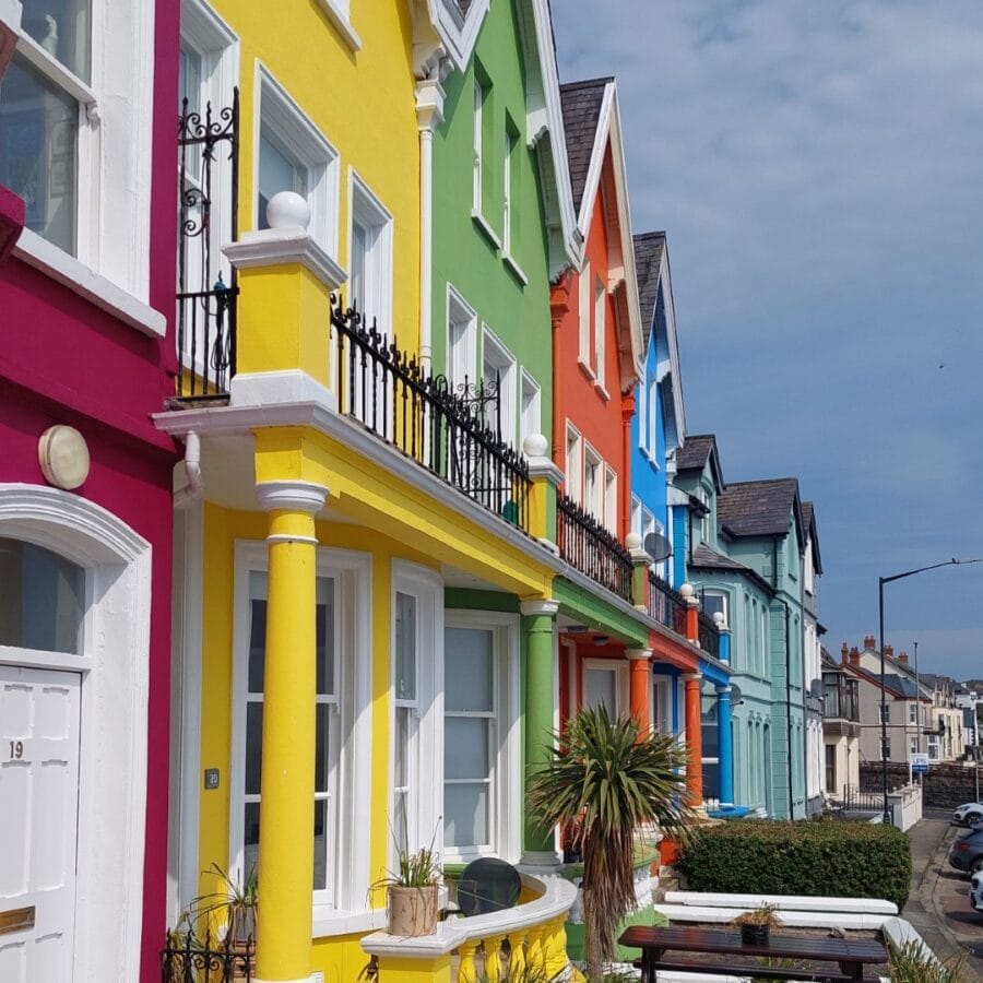
From Belfast to the next place is a beautiful route to drive by car! We took the coastal roads as much as possible. Along the way you can stop at The Gobbins, a very famous walk in this region. You need to make a reservation in advance. Unfortunately we were no longer able to do the hike, but we did go to the viewpoint. Are you having bad luck like us? Then the town of Whitehead is fun to explore briefly. From here there are also several walks along the coast and towards the lighthouse.
Day 3: Along the Giants Causeway to Ballybofey
Distance: 150 km
Activities: Carrick-a-Rede Rope Bridge (3), Causeway Head (4), Dunluce Castle
Accommodation: Ballybofey (update 2026: the accommodation we stayed at is no longer available)
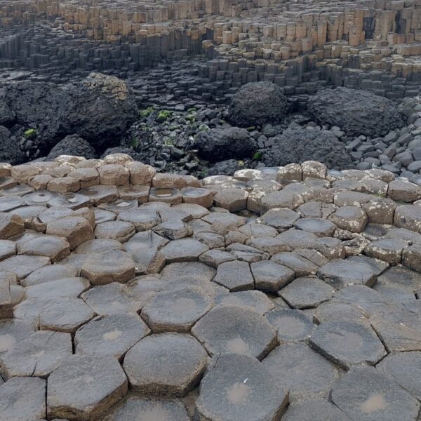
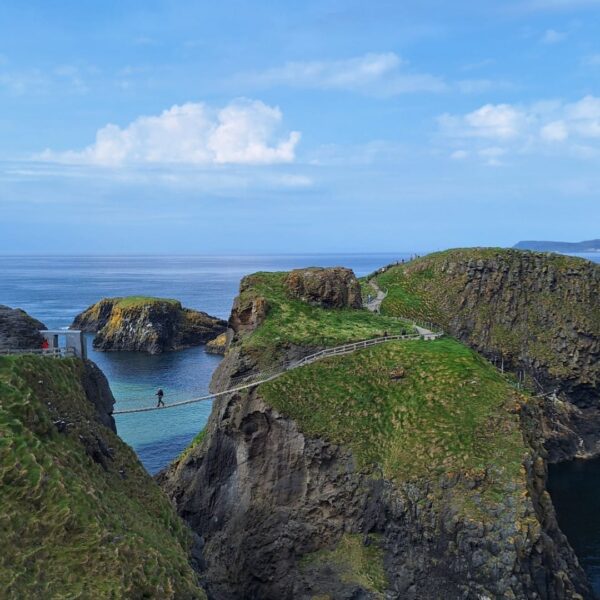
From Ballybofey it is only a short drive to the next walk: the Carrick-a-Rede Rope Bridge. You walk along the coast and then cross a rope bridge to an island. You also have to book this walk in advance, but we did that on the day itself. After the walk you can take a look at the Giant’s Causeway. We thought this was a special stop, because the rocks form a nice contrast with the sea in the background. There are tours, but you can also walk to the viewpoint yourself. After this walk it is time to continue driving towards Balleybofy, also a cozy but small town. In the meantime, take some nice photos at Dunluce Castle.
Day 4 + 5 Balleybofey – Killarney (Wild Atlantic Way)
Distance: 500 km
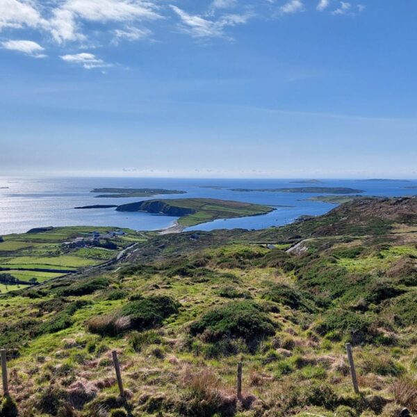
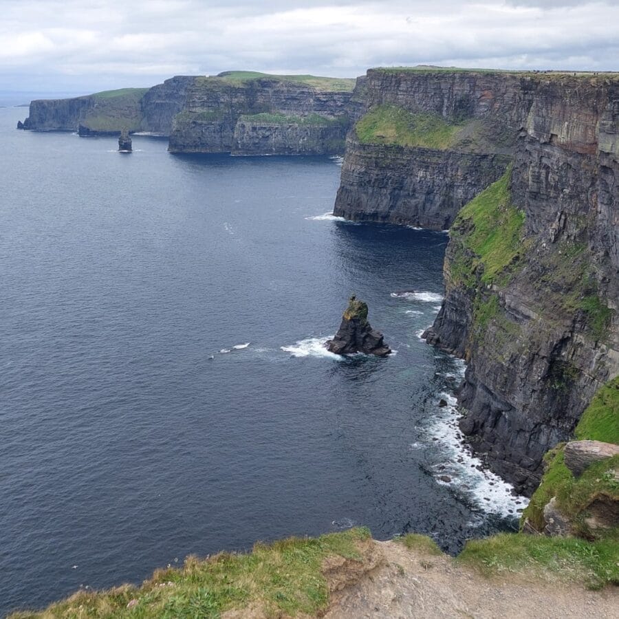
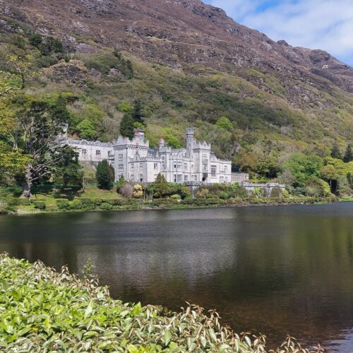
Activities: Sky Road, Killary Fjord (5), Kylemore Abbey (6), Cliffs of Moher (7), Killarney
Accommodation: Lakeland House (day 4) en The Black Sheep Hostel (day 5)
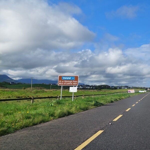
The coastal road along the west coast of Ireland is also called the Wild Atlantic Way. The route, no less than 2,500 kilometers long, winds along the most beautiful places on the west coast of Ireland. This route is easy to follow, because you will encounter signs everywhere along the way. It is not possible to drive the entire route in 2 days, but there are a few stops that we recommend on the Wild Atlantic Way from Sligo to Killarney! These can all also be found in our Google Maps travel guide Ireland.
Day 6: Drive the Ring of Kerry
Distance: 200-250 km
Activities: Moll’s Gap (8), Derrynane Beach (9), Bolus Barracks Loop walk (10)
Accommodation: The Black Sheep Hostel
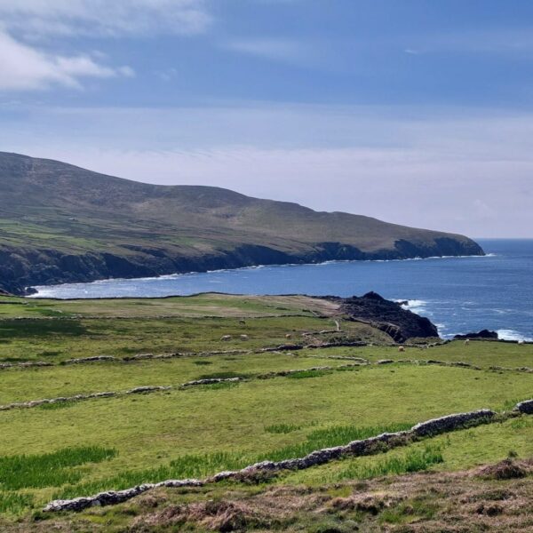
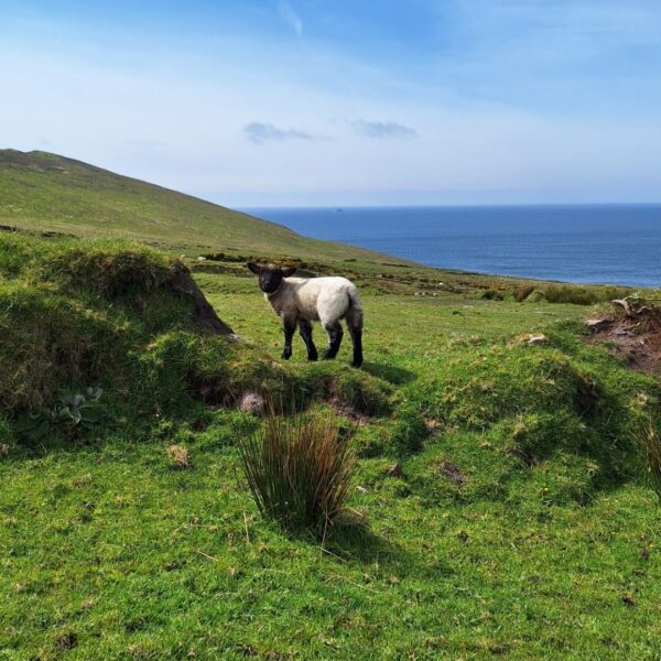
Killarney is the starting point for the Ring of Kerry, a famous loop on the Wild Atlantic Way. In total, this route is almost 200 kilometers long, but you can also add an extra loop. There are so many places to stop that you have to make choices when driving the Ring of Kerry in one day. Most places charge a small entrance fee, but there are often great alternatives. Consider the Bolus Barracks Loop Walk, which is completely free!
Day 7: Killarney to Midleton
Distance: 120 km
Activities: Gap of Dunloe (8), Cork
Accommodation: Ballynona House
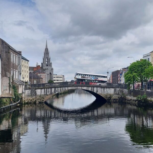
It’s time to drive towards Dublin and leave the beautiful coastal roads behind you. However, there is another great route on the way to the next destination: the Gap of Dunloe. In our opinion, it is more than worth it, because we really think this is the most beautiful road in all of Ireland! By the way, this road is also on the route of the Ring of Kerry, so you can also plan it on day 6. From Killarney to Midleton you also pass through Cork, which is also worth a visit.

Day 8: Visit the Wicklow Mountains
Distance: 250 km
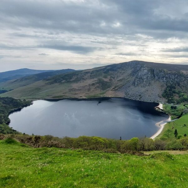
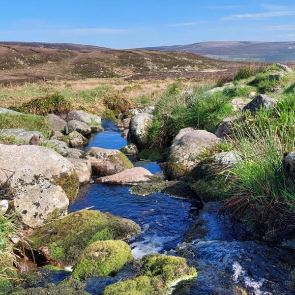
Activities: Wicklow Mountains (11), Glenmacnass waterfall, Lough Tay viewpoint
Accommodation: Lus Mor
Today is a travel day during the 10 day Ireland itinerary. We did not make many stops, but you will come across plenty of ruins and churches along the way that you can visit. Eventually you arrive at the Wicklow Mountains, close to Dublin. We met many people who had planned a walk in this area. Unfortunately we didn’t have enough time for this ourselves.
Day 9: End of Ireland Itinerary, Visit Dublin
Distance: 50 km
Activities: whiskey tasting at Teeling and Dublin city
Accommodation: Lus Mor
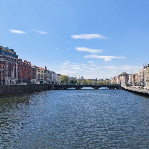
Dublin is a very atmospheric city with its many pubs and churches. We did a whiskey tasting at Teeling in the afternoon. You can also choose another distiller, but Teeling is less known and therefore slightly cheaper.

Day 10: End of The 10 Day Ireland Itinerary
End your 10 day itinerary Ireland and Northern Ireland in Dublin. Depending on the departure time of your plane, there is still time to visit the city briefly. In our free Google Maps map you will find an affordable parking space in the center. Keep in mind that traffic can be very busy and that it will take quite some time before you reach the airport.
Google Maps Travel Guide Ireland
A comprehensible to use Google Maps travel guide for Ireland. Find where to go, where to eat and what to do on our complete Google Maps guide.